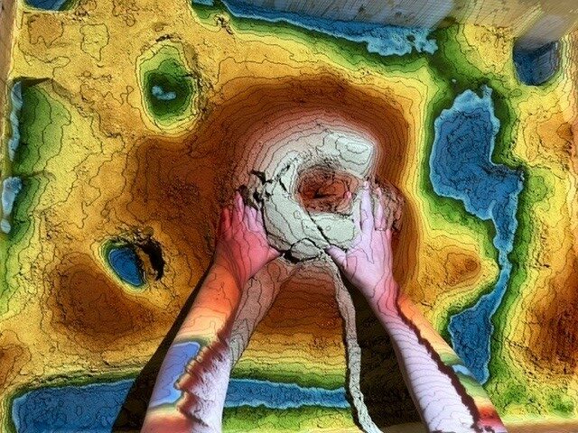
Our Augmented Reality (AR) sandbox visualizes how measurement works. A 3D sensor scans the changing surface of the “sandbox” and calculates the contour lines and color gradients of the landscape on this basis. The project was implemented with a specially developed software solution from UC Davis.
The calculated image is then projected onto the sand surface with a beamer above the “sandbox”. In addition, water simulations are calculated to animate them on the sand surface. Among other things, the system can convey geographical, geological and hydrological concepts, such as reading a topographic map, the meaning of contour lines, water catchment areas, catchment areas, dikes and much more.
The AR sandbox has already been exhibited at several events and has always been admired and actively tested with great enthusiasm.
Comments are closed.